

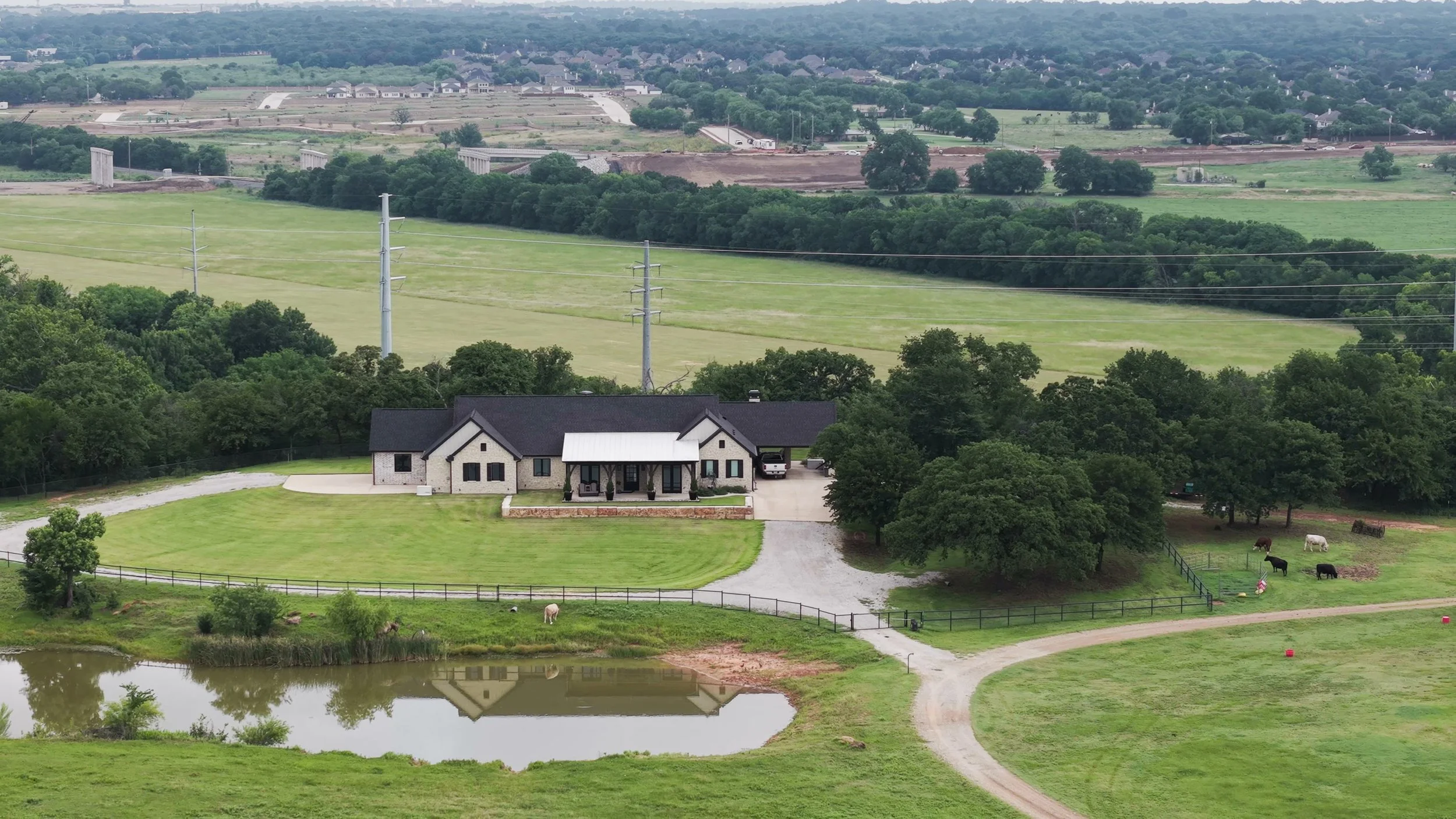
Farm & Ranch Drone Services
Professional aerial photography, video, and visual documentation that help landowners showcase properties, monitor improvements, and better understand the land they manage.
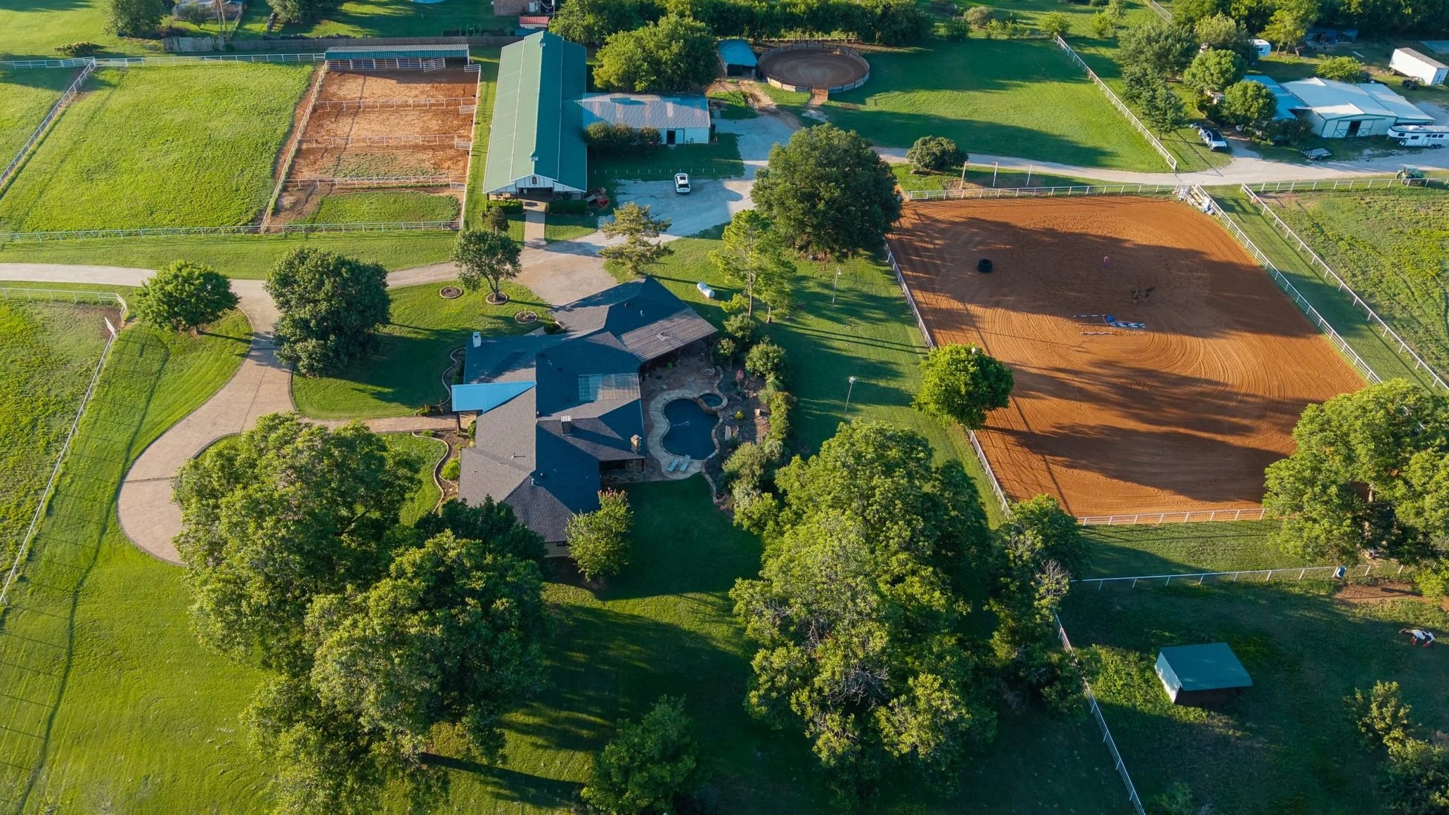
Built for Landowners, Ranchers & Agricultural Professionals
Whether you're managing a working ranch, marketing recreational land, documenting property improvements, or simply gaining a better perspective of your property, professional aerial imagery provides insights that simply aren't possible from the ground.
High Country Aerials delivers high-quality aerial photography, cinematic video, and visual documentation that help landowners showcase their property, monitor property conditions, document improvements, support land management, and preserve a visual record of their investment.
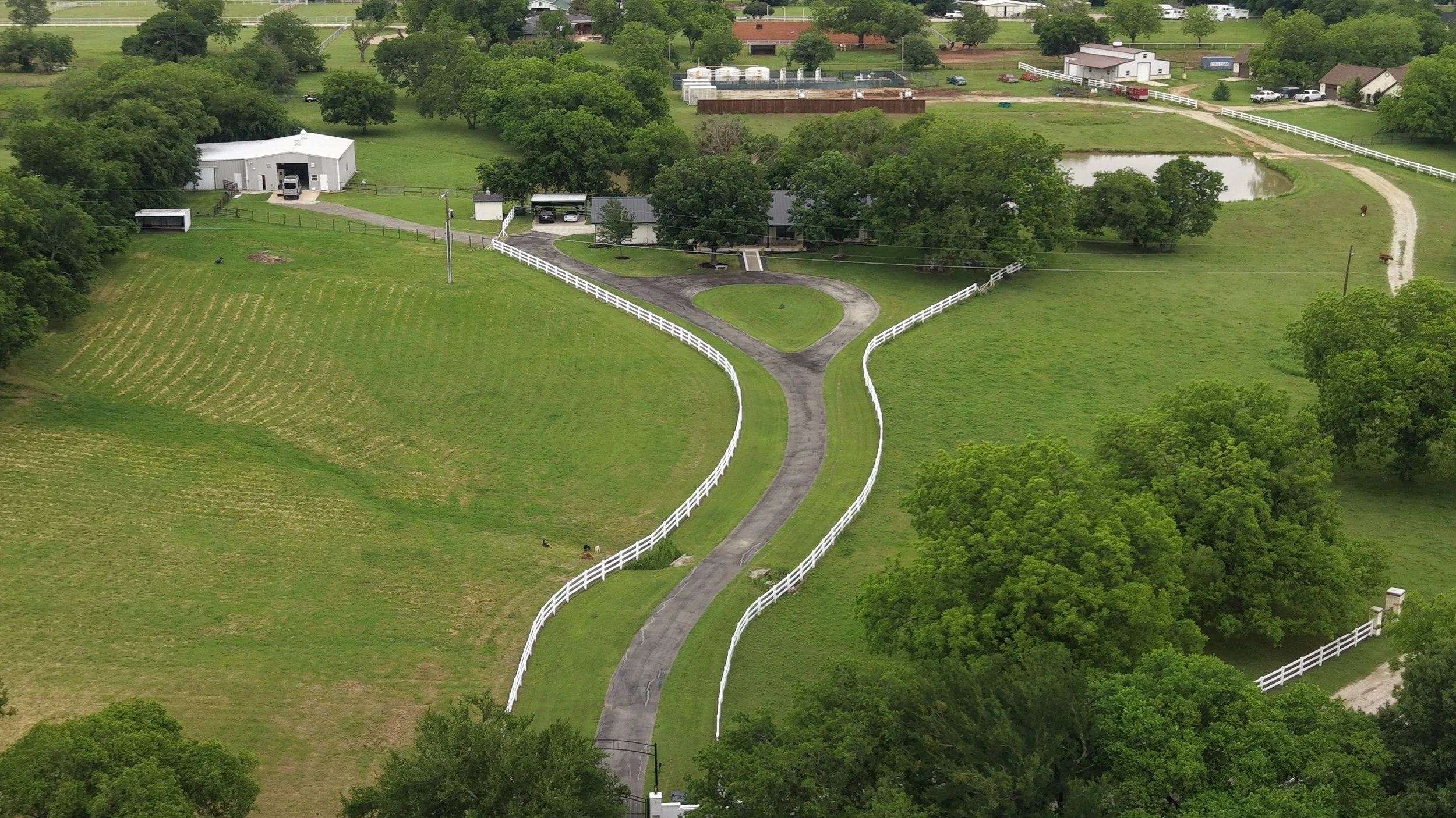
Property Marketing
Sell ranches, horse properties, hunting land, recreational tracts, and rural estates.
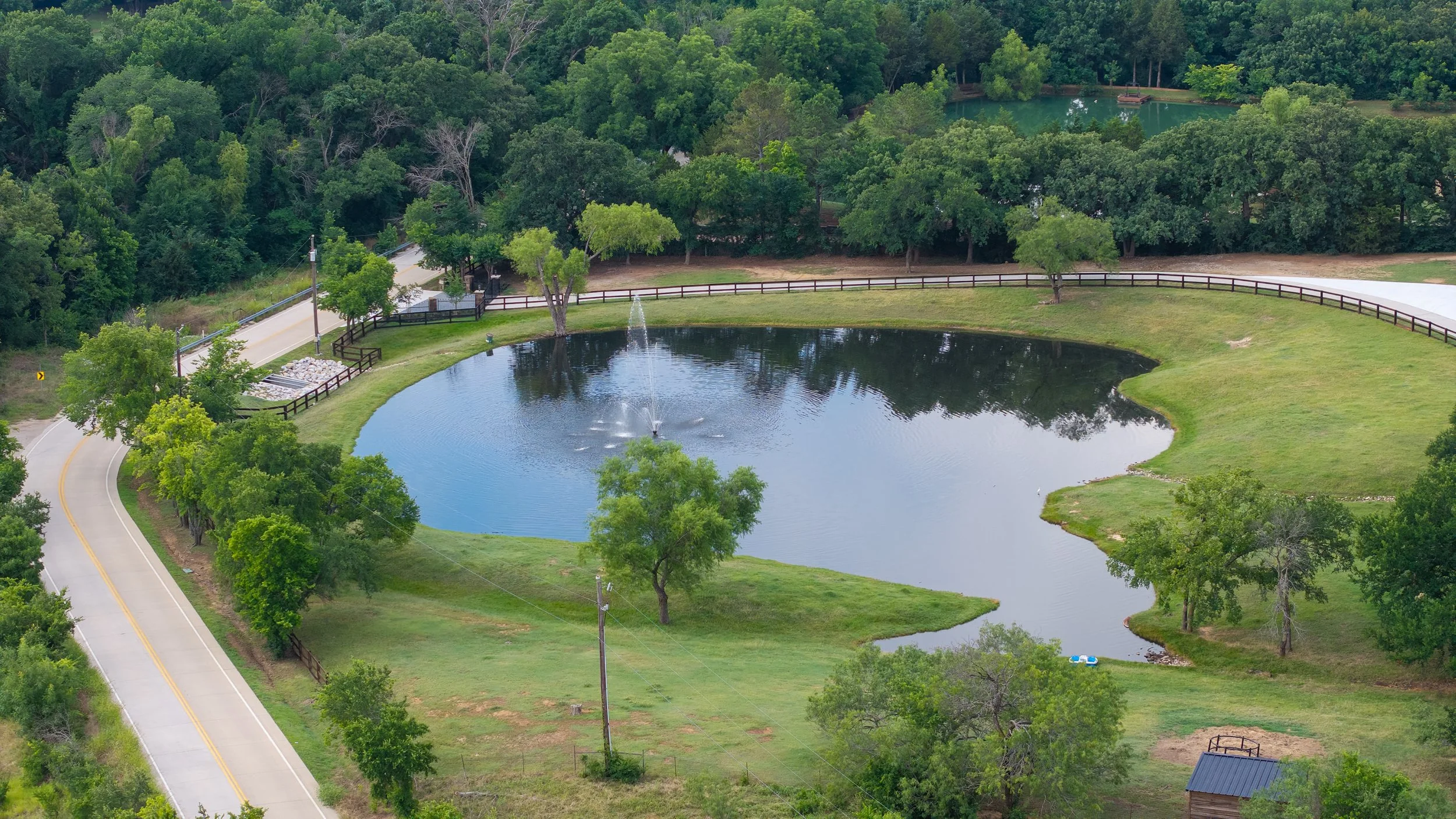
Land & Infrastructure
Document fence lines, ponds, barns, roads, gates, windmills, livestock facilities, and improvements.
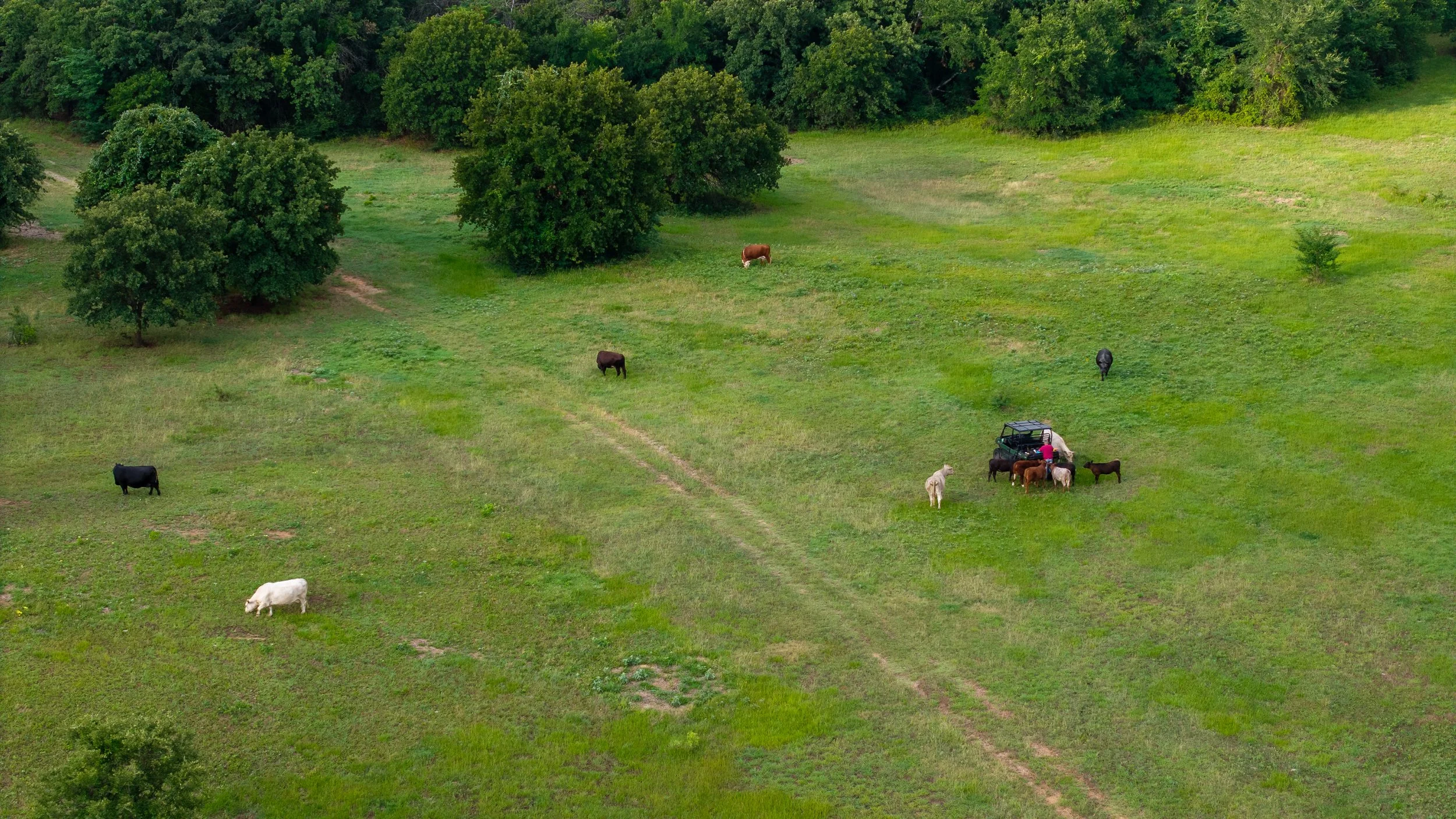
Property Monitoring
Seasonal changes, storm damage, grazing areas, water resources, construction projects, and land improvements.
Every farm and ranch is unique, and so are its needs. Our goal is to provide organized, professional aerial deliverables that help landowners manage, market, and preserve their property with confidence.
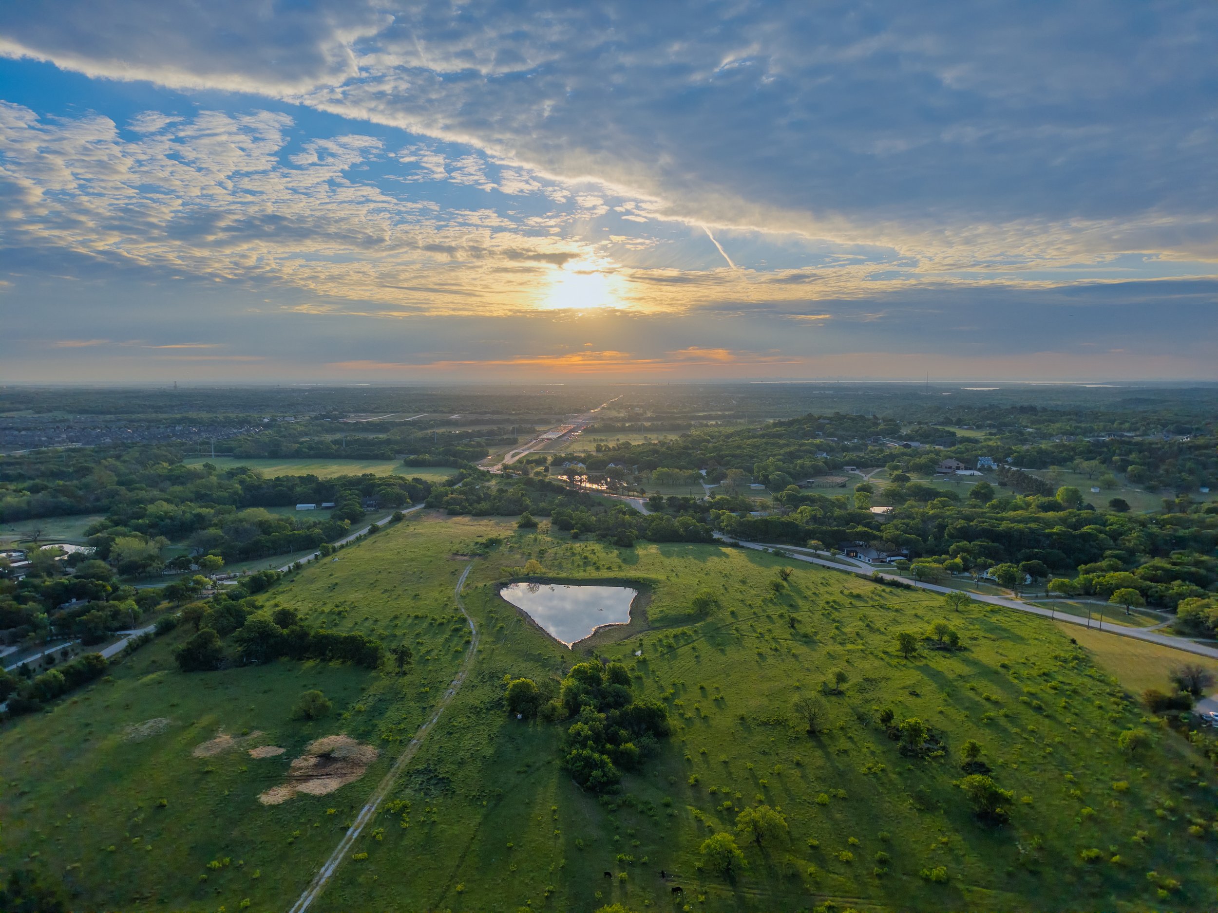
Whether you're marketing your property, documenting improvements, or simply creating a lasting visual record of your land, we'll tailor the final deliverables to meet your goals.
What You’ll Receive
✓ High-resolution aerial photography
✓ Cinematic aerial video
✓ Property overview imagery
✓ Fence lines, ponds, and infrastructure documentation
✓ Organized digital file delivery
✓ Marketing-ready photography and video
✓ Images optimized for websites and social media
✓ Custom deliverables tailored to your property's needs
Helping you better understand, manage, and preserve your property's value.
Why Landowners Choose High Country Aerials
✓ FAA Part 107 Certified Remote Pilot
✓ Fully Insured
✓ Former Private Pilot
✓ 35+ Years in Business Operations & Supply Chain Management
✓ Based in the Dallas–Fort Worth Metroplex
Your property is more than acreage—it's an investment, a livelihood, and often a legacy. High Country Aerials understands the importance of capturing accurate, high-quality aerial imagery that helps you manage, document, and showcase your land with confidence.
As an FAA Part 107 Certified Remote Pilot with more than 35 years of experience in Information Technology, Supply Chain Management, and business operations, I bring a professional, organized approach to every project. Every flight is carefully planned with safety, regulatory compliance, and your property's unique objectives in mind.
Whether documenting ranch improvements, marketing recreational property, monitoring infrastructure, or preserving a visual record of your land, my goal is simple: deliver aerial imagery that helps you make informed decisions about your property.
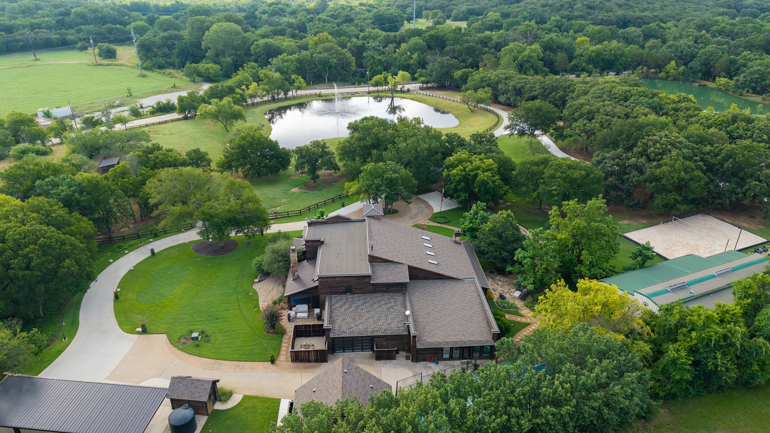
Ready to Showcase Your Property
Whether you own a working ranch, recreational property, equestrian facility, or family acreage, High Country Aerials is ready to provide professional aerial photography, cinematic video, and visual documentation tailored to your property's unique goals.